Unpredictable Path for Storm Erin as UK Heatwave Teeters on the Edge
If you thought this endless stretch of blue skies and sweltering heat in Britain would last forever, you might need to rethink your late summer plans. The Met Office has put out a new update on Storm Erin, and it sounds like things could get wet fast.
Right now, Erin is swirling in the Atlantic, tracking towards North America—nothing too wild for this time of year. But here’s the catch: Erin’s path looks set to take a turn past Canada, sending a chunk of its wild energy barreling towards the UK just as the August Bank Holiday hits. Cue the weather forecasters’ uncertainty.
Alex Burkill from the Met Office summed it up: forecasting this Bank Holiday is, in his words, ‘really up in the air’. One day the charts show blazing sun, the next it’s a washout. That’s hurricane season for you: plans are made to be ruined.
People have been soaking up the sun thanks to a stubborn area of high pressure parked over the UK. It’s the kind of weather that tempts you into believing you live in Marseille instead of Manchester. But now, that reliable high pressure is under threat. As Erin pushes east, it’s breaking down the barrier, and in its wake comes much-needed rain.
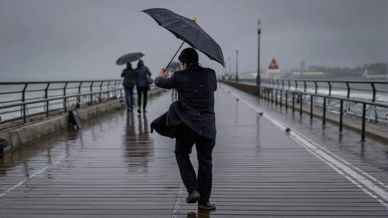
How much rain? Met Office models are showing peak downpours around 5mm per hour—not quite monsoon levels, but enough to flood your barbecue and send Bank Holiday campers running for cover. Most folks, though, shouldn’t expect buckets of water. For large swathes of the country, rainfall should sit between 0.2mm and 3mm per hour, just enough to freshen things up and kick-start those drooping lawns.
Packed Summer Records and the Power of the Jet Stream
This weather drama comes after the UK’s latest back-to-back heatwaves—and not just a scorcher here and there. Emily Carlisle from the Met Office says this summer could end up being the hottest since records began in 1884. June and July both smashed the usual temperature averages, and it wasn’t just in the headlines: every sticky, restless night made it feel like living through a climate experiment.
Britain isn’t alone. Around Europe, people have wilted under relentless waves of heat, from Paris to Palermo. Trees look tired. Rivers have dropped. The usual green stretches across the UK have started turning yellow at the edges.
Storms like Erin aren’t all that rare in late summer. Last year it was Floris; before that, ex-tropical storm Dexter. Sometimes, these remnants rip through, bringing days of steady rain and gusty winds—bad news if you’re hoping for one last lazy beach day. Other times, the storm fizzles out over the ocean, leaving us with a muggy, humid stretch instead.
So what really decides which way it goes? It’s all down to the jet stream, this high-altitude wind belt that steers our weather like a cosmic conveyor belt. When the jet stream runs straight and strong, storms streak across fast. When it slows and meanders, weather systems just sit and spin, locking in either the rain or the sun. Where Erin lands along that wobbly path will make all the difference—either we brace for wind-battered tents, or we stick out another dry spell wondering if rain is now an endangered species.
With Erin still out at sea, meteorologists are glued to their charts. The Met Office says more solid forecasts will drop in a few days, so if you’re staring at those last-minute holiday plans, keep checking for updates. Either way, it looks like summer’s next twist is coming in fast—and nobody’s betting on a quiet Bank Holiday just yet.